


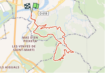

8,4 km | 10,5 km-effort

Gebruiker GUIDE


Gratisgps-wandelapplicatie
 SityTrail
IGN / Geografische instituten
SityTrail World
De wereld gaat voor u open
Tocht Stappen van 10,9 km beschikbaar op Occitanië, Pyrénées-Orientales, Le Boulou. Deze tocht wordt voorgesteld door toutankhcarton.
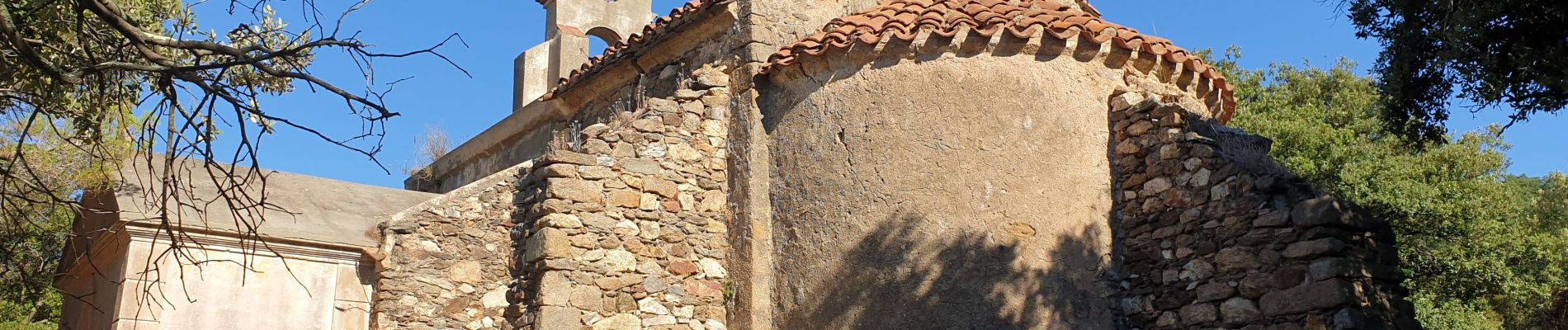
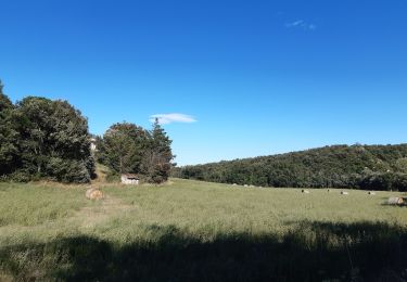
Montée au Pic Estelle depuis le casino Joa. Petit raidillon au départ puis passage par la chapelle romane St Pierre de Laner (XIIe).
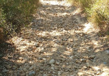
Regagner la piste en contre bas de la chapelle pour revenir au Boulou.
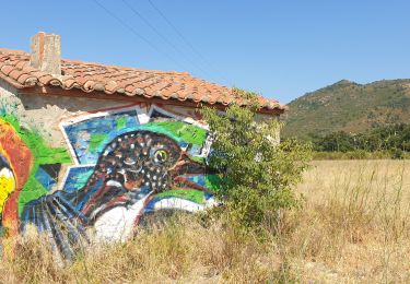
 - Le Boulou - Pyrénées orientales (66) - Photo 1")
 - Le Boulou - Pyrénées orientales (66) - Photo 2")
 - Le Boulou - Pyrénées orientales (66) - Photo 3")
 - Le Boulou - Pyrénées orientales (66) - Photo 4")
 - Le Boulou - Pyrénées orientales (66) - Photo 5")
 - Le Boulou - Pyrénées orientales (66) - Photo 6")
 - Le Boulou - Pyrénées orientales (66) - Photo 7")
Stappen

Stappen

Stappen

Stappen

Stappen
Stappen
Hybride fiets

Stappen
Stappen